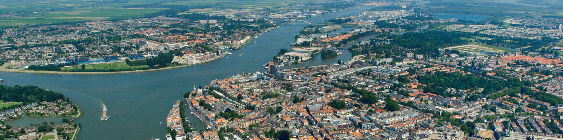
In the Rhine Estuary-Drecht Towns – the area from the Hollandsche IJssel to de Haringvliet Locks and from the Hook of Holland to the Biesbosch – the water comes from four directions: from the sea, the rivers, the air (precipitation) and the ground (seepage). This is a densely populated area interspersed with rural areas that has major economic significance for the Netherlands. All these factors make the Rhine Estuary-Drecht Towns region vulnerable. A preferred strategy has therefore been drawn up for flood risk management in this area as part of the national Delta Programme. The provincial and municipal authorities, the water authorities, the safety regions, the national government and the Port of Rotterdam Authority are working together to implement this preferred strategy.
The Rhine Estuary-Drecht Towns is an area of extremes: with port activities, towns and cities (large areas of which are located outside the dikes), the Greenports (horticulture), the Green Heart and unique nature areas such as De Biesbosch. Economic and spatial development is possible here only if flood risk management, freshwater supplies and climate resilience are up to standard, now and in the future. These are the aims of the preferred strategy for the Rhine Estuary-Drecht Towns. The region has been working since 2014 on the implementation of this strategy, which was re-evaluated in 2020. The three Delta Decisions for Flood risk management, Fresh water and Spatial adaptation constitute the framework for implementation, as does the Delta Decision for the Rhine-Meuse Delta.
Preferred strategy and Agendas
The preferred strategy for flood risk management in this area is based on the interplay of movable storm surge barriers and dikes that are strong and high enough. Proper maintenance of the storm surge barriers and dike upgrades (in line with the Flood Protection Programme) will provide the region with enough protection from high water. The Maeslant barrier (and other storm surge barriers) proved its worth in this respect by closing automatically for the first time in December 2023 in response to high water. Some dikes in the Rhine Estuary-Drecht Towns region do not yet comply with the new standards. A higher level of protection has been agreed for most dikes in recent years because the number of people and value of the assets behind the dikes has increased. Where dikes are built on peat, land subsidence is also leading to an additional challenge for flood risk management. The Flood Protection Programme (Dutch) is working to upgrade the dikes so that they will all comply in 2050 with the standards applicable at that time.
This strategy is sustainable until 2070 and beyond. We are keeping a finger on the pulse to see whether this estimate remains valid against the backdrop of accelerated sea level rise as well. In addition, we are exploring measures to extend the scope of the strategy (in terms of duration).
Alternative strategies are being elaborated for the long term (after 2070 at least). This involves looking at other ways of protecting against flooding (including the relationship with spatial developments). On that basis, an estimate will be made of which spatial investments can be implemented in the shorter term without regret. The Sea Level Rise Knowledge Programme provides important information in this respect that will be included in the next periodical evaluation for the Rhine Estuary-Drecht Towns. It is important to pay attention to the following areas:
- Keeping options open for measures required in the future, for example by setting space aside for dike upgrade operations in the future.
- The elaboration of the insights from the national consortia of the Knowledge Programme into a number of region-specific alternative strategies that are robustly embedded in the spatial development of the area.
- Formulating the alternative long-term strategies in terms of space requirements and making a comparison with planned spatial investments.
- The increasing frequency of longer periods with low river discharges and water shortages, which put pressure on the region’s freshwater supplies as a result of increasing salinisation.
- Implementing spatial-adaptation measures in the domain of spatial adaptation, for example in the unprotected areas outside the dikes.
In addition, the Rhine Estuary-Drecht Towns Delta Programme is working on, among other things, spatial adaptation strategies for the dike zones and areas outside the dikes, and the development of plans for crisis management. The Rhine Estuary-Drecht Towns Delta Programme is actively committed to establishing the appropriate structures and boundary conditions for area developments.